Get Connected
Experience the Ultimate
Hiking and Camping Trip at Beaver Lake
A majority of the parks around Beaver Lake are open from the beginning of April through the end of October for their peak season unless noted otherwise. This is the perfect time to pull out the camping and hiking gear and head to enjoy the 28,000 surface acres of lake for some much-needed time away from school, work, and hectic schedules. Campgrounds managed by US Army Corps of Engineers are open April 1 to October 31.

Beaver Lake Camping
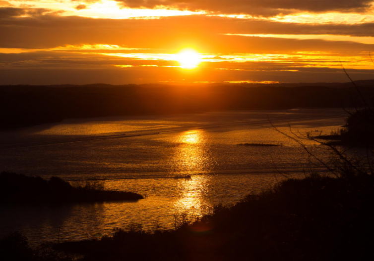
Most sites have electricity, picnic tables, water hookups, dump stations for RVers, and a front row seat to nature, sunsets, and long relaxing days. To help you plan your trip, here’s a rundown of the parks and campsites around Beaver Lake.
Hide-A-Way Campground and RV Park
- Campsites: 118 RV full hook up & Tent, 6 cabins, 2 cottages, 2 pool-side cabins
- Location: Rogers
- Facilities: Full-service RV hook-ups, lakeside tent sites, fully-equipped cabins, general store, large pavilion, meeting room, outdoor swimming pool and playground, boat slips, and hot showers.
- This campground caters to families and retirees respecting quiet hours. Recreational activities such as kayak rentals, boat rentals, catamaran sailing, stand-up paddle boards, pontoon boating, scuba diving, trophy striper fishing guides, hiking and mountain biking trails with Shaddox Hollow Trail being less than a mile away. They recently added a 4800 sq. ft. event center.
- Campsites: 142 RV & Tent
- Location: Rogers
- Facilities: Flush toilets, drinking water, showers, two playgrounds, picnic areas, fire rings, electricity hookup, and water hookup. This campground sits in the Ozark Mountains of Northwest Arkansas on the shores of Beaver Lake. There are easily accessible swimming areas and water sport activities, hiking, fishing, and boating with the Horseshoe Bend Marina nearby. Scuba diving, water skiing, spelunking, sightseeing, and fishing guides are offered throughout the area. The hardwood and evergreen forest provides a home to many different species of wildlife and within a short driving distance hunters can find game animals such as deer, rabbit, and squirrels. Three large group picnic areas are available for large parties and family events.
- Managed by US Army Corps of Engineers
- Campsites: 109 RV & Tent
- Location: Rogers
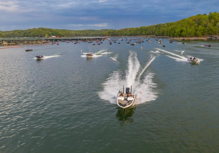
- Facilities: Accessible flush toilets, RV dump station, marina and five-lane boat ramp, playground, showers, picnic tables, fire pit, water hook-up, and sand volleyball court. Prairie Creek Marina can be found nearby where fishing tournaments are traditionally held. This campground is the nearest to downtown Rogers and along with the swimming areas can be crowded by locals

Monte Ne RV Park & Campground
- Campsites: 70 RV, 9 tent, 3 cabins, 54 long term
- Location: Rogers, AR
- Facilities: 50 and 30 amp electricity hook-up, city water, sewage hookups, picnic tables, grills and fire pits, laundry facilities on site, hot showers, restrooms, walking trails, free wi-fi, and fully furnished cabins that sleep 4 to 6 available for rental. Located just minutes from Beaver Lake with a hidden cove that can’t be seen from campsites provides easy access to swimming, boating, and fishing. Nature trails, bird watching, and many other recreational activities are available in the area. Horseshoe Bend Marina is located just 2 miles from the campground near the old town Monte Ne. A clubhouse with some exercise equipment is available as well as a community library where you can “take one leave one.” Arrangements for private events can be made in advance with management. Dogs are allowed and must be kept on leash. 44 footers are available for weekends and overnight reservations and long terms depend on what is available. This campground takes reservations year-round.
Rocky Branch Campground
- Campsites: 43 RV & Tent
- Location: Rogers, AR
- Facilities: Vault and flush toilets, drinking water, heated showers, boat dock and ramp, trailer and marine dump stations, pavilion, playground. This campground is better suited for family oriented smaller groups looking to swim in the clear waters with campsites sitting right on the lake. Nearby Rocky Branch Marina can assist with all your boating needs.
- Managed by US Army Corps of Engineers
Hickory Creek Recreation Area & Campground
- Campsites: 61 RV & Tent
- Location: Lowell, AR
- Facilities: Vault and flush toilets, drinking water, heated showers, boat dock and ramp, trailer and marine dump stations, picnic area, swimming area, playground, and 7 pavilions perfect for large parties or family gatherings. Hickory Creek Marina is conveniently located nearby for all your recreational activity needs.
- Managed by US Army Corps of Engineers
Dam Site River Campground
- Campsites: 55 RV & Tent
- Location: Eureka Springs, AR
- Facilities: Accessibility, vault and flush toilets, water, boat ramp, heated showers, trailer dump station, swimming, picnic area, playground surrounded by towering limestone bluffs, natural caves, trees, and flowering shrubs. Beaver Lake and Dam were completed in 1966 in the White River Basin and boasts 449 miles of shoreline along the conservation pool. Originally built for flood control, hydroelectric power and public water supply became a popular recreational oasis for locals and visitors.
- Managed by US Army Corps of Engineers
Starkey Campground
- Campsites: 23
- Location: Eureka Springs, AR
- Facilities: Large shaded and sunny campsites, fire rings, picnic areas, drinking water, boat ramp, and playground. Anglers can fish for large and small-mouth bass, crappie, bream, white bass, stripers, and channel or spoon-bill catfish. Just below the dam, the upper White River provide the perfect waters for pole-bending rainbow and record-size German brown trout. Nearby Starkey Marina provides lift off to boaters and anglers alike.
- Managed by US Army Corps of Engineers
Indian Creek Campground
- Campsites: 33 RV & Tent
- Location: Garfield
- Facilities: Vault and flush toilets, heated showers, drinking water, boat ramp, swimming area, nearby trails, picnic area. This campground is near the Beaver Dam with breath taking views of the lake, surrounding bluffs, and green forestry. Be sure to take a shirt drive to the dam overlook!
- Managed by US Army Corps of Engineers
Lost Bridge North
- Campsites: 48 RV & Tent
- Location: Garfield
- Facilities: Vault and flush toilets, heated showers, drinking water, boat dock and launching ramp, trailer dump station, youth group camp area, playground, and hiking trails. The campground is directly across the Lost Bridge Marina parking lot where you can rent a boat or purchase snacks and ice cream.
- Managed by US Army Corps of Engineers
Lost Bridge South
- Campsites: 36 RV & Tent
- Location: Garfield
- Facilities: Vault toilets, drinking water, launching ramp, trailer dump station, playground, swim beach, fire rings, and picnic areas. Sits in the Ozark Mountains of Northwest Arkansas on the shores of Beaver Lake with plentiful opportunities to fish, swim, scuba dive, and many other water sports.
- Managed by US Army Corps of Engineers
War Eagle Campground
- Campsites: 26 RV & Tent
- Location: Springdale
- Facilities: Flush toilets, heated showers, boat dock and ramp, trailer dump station, overlook, fire rings and grills, picnic areas, drinking water, playground, and a quiet area. War Eagle campground is surrounded by towering limestone bluffs, natural caves, trees, and flowering shrubs. Take part in hunting, hiking, fishing, and boating through War Eagle Marina during your stay.
- Managed by US Army Corps of Engineers

Hiking Trails
A variety of hiking paths are available around Beaver Lake. With each step you will find treasures like really cool rocks, different types of bugs and wildlife, trees, various flowers, and don’t forget the panoramic views you can snap photos of. Make sure to take a jar or bag for all of the cool “finds” you pick up on your hunt. Here are a few of the trails located in and around Beaver Lake.
- Location: Hobbs State Park-Conservation Area
- Length: 1.5 miles
- Route Type: Loop
- Elevation Gain: 242 ft.
- Difficulty: Moderate
- Best Season: All year
This trail is approximately 1 to 2 hours long with the first 1/2 mile following a ridgeline then descending into Shaddox Hollow and can be rather steep in some areas. The trail passes along the edge of the creek and through hardwoods, native Ozark vegetation, limestone bluffs, and features the lake. The trail is closed during deer permit hunts the months of November, December, and January.
- Location: Prairie Creek Park – North
- Length: 0.9 miles
- Route Type: Loop
- Elevation Gain: 101 ft.
- Difficulty: Easy
- Best Season: Summer and Fall
You can take a winding 45-minute leisurely walk through a scenic wooded area. Part of the trail follows along the base of a long, low, limestone bluff. The many wildflowers and hardwood threes provide a lot of color in both summer and fall.
- Location: Lost Bridge Park – North
- Length: 4.7 miles
- Route Type: Loop
- Elevation Gain: 649 ft.
- Difficulty: Moderate
- Best Season: All year
A shorter backpacking trail with great views of Beaver Lake, several limestone bluffs, and a visit to a historical homestead site. Pets are allowed and must be kept on leash.
- Location: Dam Site Park – Overlook
- Length: 2.3 km
- Route Type: Loop
- Elevation Gain: 396 ft.
- Difficulty: Moderate
- Best Season: Spring and Summer
This difficult two-mile trail is mostly steep terrain, so not one for those up to a challenge. As the name suggests, flowering dogwood trees abound throughout the area. Spectacular overlooks, beautiful geographic features and one of the largest bluff shelters found on Beaver Lake await you along the trail. Pets are allowed and must be kept on leash.
Fishtrap Nature Trail
- Location: Lost Bridge Park – South
- Length: 0.33 miles
- Route Type: Loop
- Difficulty: Moderate
- Best Season: Spring and Summer
This trail requires 30 minutes of walking time and is moderately difficult. It extends a short distance uphill to a level bench on the hillside leading to a long overhanging bluff.
- Location: Indian Creek Park
- Length: 1.4 miles
- Route Type: Loop
- Elevation Gain: 101 ft.
- Difficulty: Moderate
- Best Season: All year
This trail will take about an hour to hike at a leisurely pace. About one-half of the trail leads you along the top of a bluff, providing many panoramic views of Beaver Lake. An overhanging rock bluff is one of the most prominent features. Pets allowed and must be kept on leash.